Seafarers and cartographers undertook the task of mapping the islands of the universe from a long time ago.
In fact, most of them have been well explored since the time of the great discoveries, having revealed all their secrets to those who knew where and how to ask.
Of course, this does not mean that our world is not full of mysteries. Islands that appeared on maps may never have existed and others that housed secret facilities and secret programs were abandoned or destroyed.
The islands sometimes behave awkwardly and enigmatically, unless the cause of their paradox continues to escape us.
For one island we will speak with a mysterious fate, which may have been very important for him to stay alive…
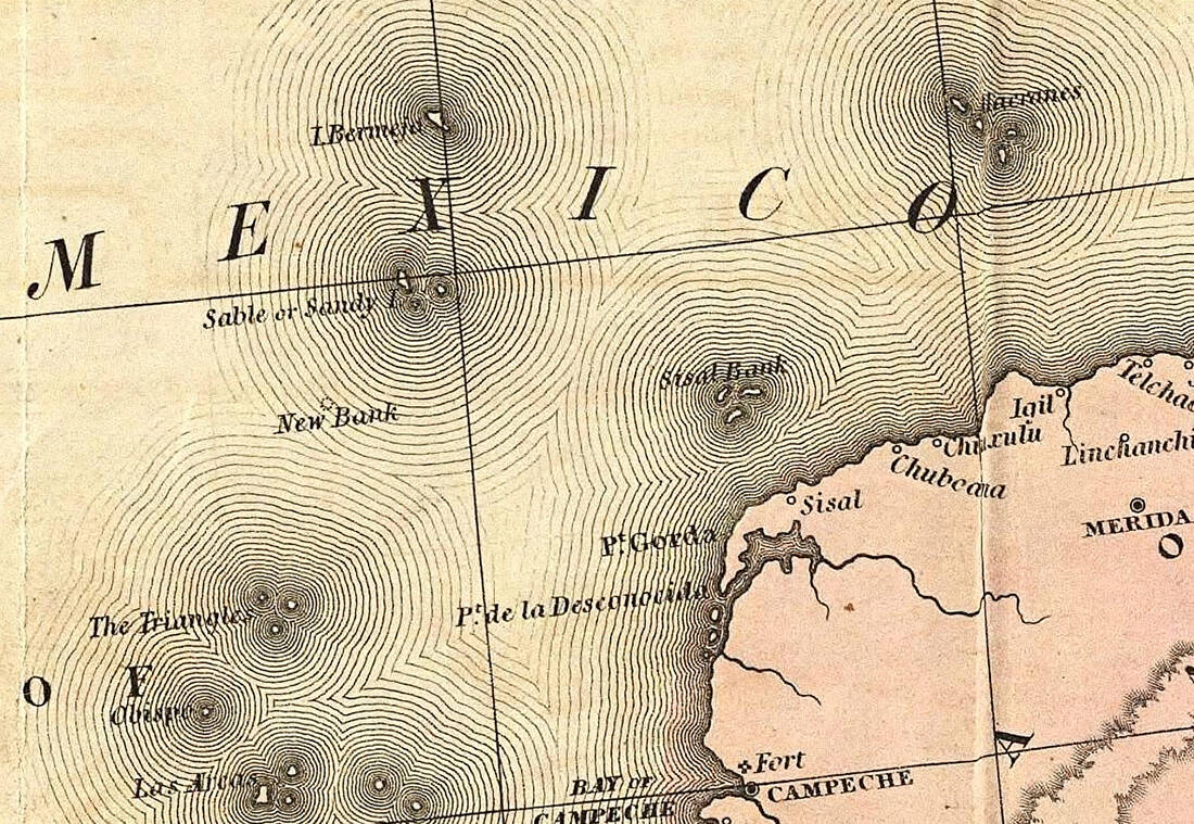
Isla Bermeja has been called and shown by maps since the beginning of the 16th century. It was in the open Gulf of Mexico, off the Yucatan Peninsula, farther away from any other island that was Mexican territory or claimed by Mexicans.
A series of maps from the 16th to the 20th century showed exactly its location, shape and morphology. In fact, with more accuracy than the neighboring islands were depicted. Some of the oldest maps showing it came from the leading Spanish cartographers of the 16th century, who were hardly mistaken.
The great Alonso de Santa Cruz, for example, knew this well, with the maps of which the Spaniards were navigating the dangerous waters of the new continent for the New World. And he included it in his famous collection of maps published in Madrid in 1539.
Alonso de Chaves, also the leading cartographer of the time, had seen it with his own eyes, giving us in 1540 not only his exact position, but also a description, telling us that from a distance he looked "reddish". And this is exactly what Bermeja means in Spanish, reddish.
In the maps of the 17th century and later it always appeared in the area, although its exact location is the truth sometimes showed small deviations. Bermeja everyone said it and no one ever thought to question its existence.
It even appears in the official Geographical Atlas of the Mexican Republic in 1921, the last time someone said to check the νησιά of the area…
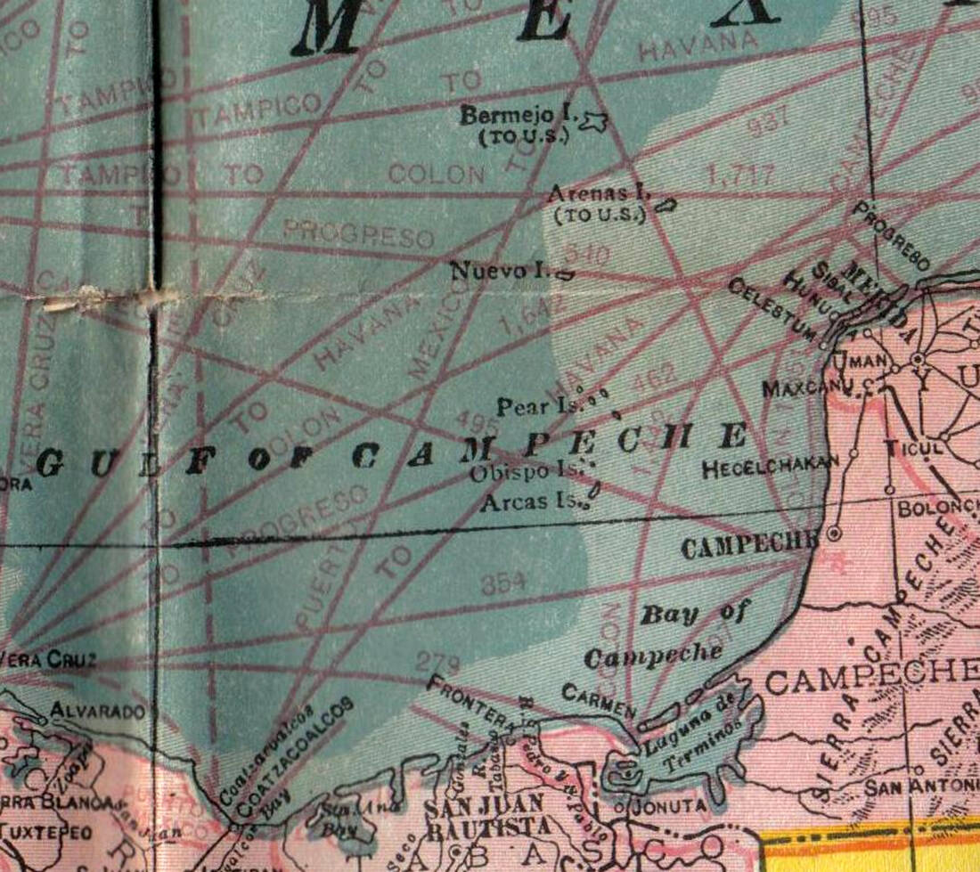
The Yucat .n is at a critical juncture for Mexico. The peninsula of southeastern Mexico is located east of the isthmus that separates Central from North America. An island there was exactly what the country needed to extend its territorial claims to offshore oil.
Ο Gulf of Mexico is rich in deposits and the US is a major trade and diplomatic enemy here. Isla Bermeja was now a divine gift! This is because its position was over 55 nautical miles off the northwest coast of the Yucatan. Finding it, Mexico could extend its oil dreams even to the middle of the Gulf, beyond the 200 nautical miles of the Mexican EEZ.
The island was in international waters, outside its 200 nautical miles EEZ of both countries, and would give Mexico the lead in sharing an area that is also considered extremely rich in oil deposits.
Only the manna from heaven was never to fall. And panic prevailed in the upper echelons of government. You do not lose national territory so easily. We are now talking about 2009, when Isla Bermeja was described as crucial for the country's interests, since the agreement with the USA for the exploitation of the area expired in two years.
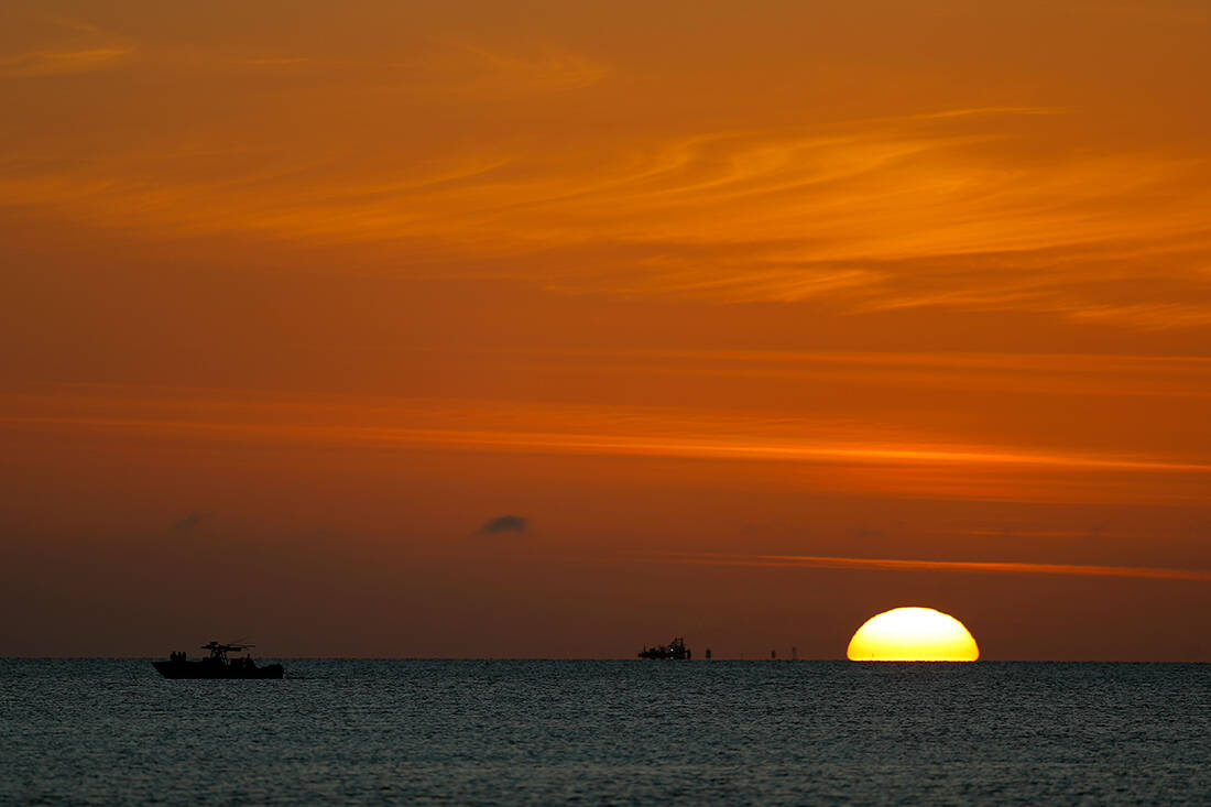
Some officers now recalled an investigation by the country's Navy from 1997, which had officially stated that it had failed to locate it. They also saw that in the twelve years that passed there was no mention of the island, covering an area of 80 square kilometers.
Bermeja, however, appeared normally in a book on the country's islands published in 1998 by the Interior Ministry. Mexican officials were anxiously trying to find out what happened. How did it disappear through their hands?
"The Bermeja in the Gulf of Mexico, a strategic indicator in the definition of maritime and submarine rights between the United States and Mexico, has disappeared, taking with it documents supporting a bilateral agreement on the region's major oil fields," the agency wrote in 2009. AFP.
Hastening to move on to the motto: "triggering scenarios for its involvement CIA»! Even worse for Mexico, the case was investigated by the Universidad Nacional Autonomous University of Mexico, whose report that year concluded that the island did not exist.
At least not where it should be, it is typically noted. The academic team recruited underwater reconnaissance devices, aerial means, and even aerial photographs of spy satellites. But the island is nowhere…
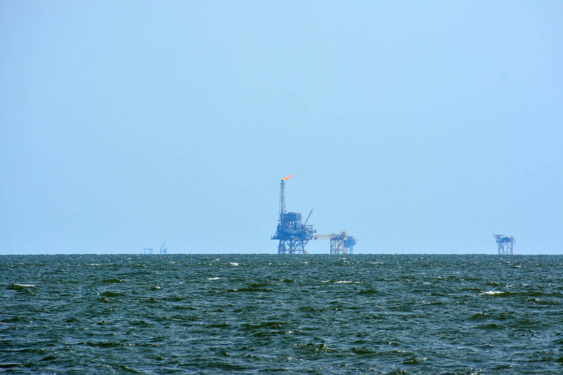
Oil has led to wars, invasions and encroachments of all kinds, as everyone wants some black gold deposits in their hands. And indeed in June 2000 USA and Mexico sign a 10-year moratorium on mining in the Gulf of Mexico, putting a temporary halt to America's expansion plans.
"We have no information on how this agreement was signed," Elias Cardenas, a member of parliament and chairman of the House Shipping Committee, told the AP news agency in 2009. But he said something else, this time on our subject:
"There are two stories about how it disappeared: one says that climate change has raised sea levels and the island is under water. The other says it was blown up by the CIA to give the US the upper hand in Hoyos de Dona, the oil field. "
Cardenas outlined an even worse situation in which his country had found itself. He claimed that until 30 years ago, Bermeja was the official starting point of Mexico's Exclusive Economic Zone. These 200 nautical miles.
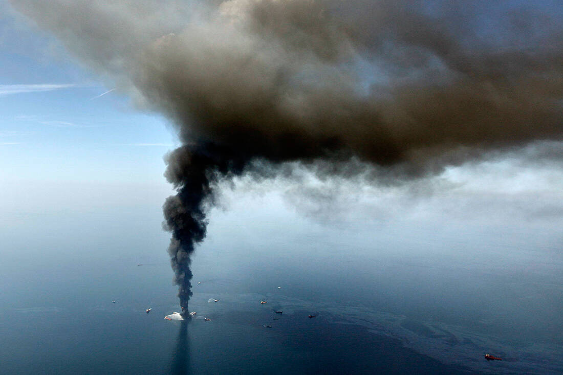
And without that, the US was now calling for the area to be reduced. Cardenas said that indeed the Alacranes Islands are now making the mark on the map, reducing Mexico's EEZ.
Characteristic of the complex and difficult situation in which the country found itself is the fact that despite the requests of the major news agencies, the Ministry of Foreign Affairs never responded.
However, Miguel Angel Gonzalez Felix, Legal Adviser at the Ministry of Foreign Affairs, responded to the signing of the agreement with the America, saying that he had informed the Parliament in June 2008 that the island is located 40-50 meters below the sea.
Six days later, a letter from Mexican lawmakers remarked that "a physical force (capable of sinking an island) cannot occur without realizing it, especially when it is in an area of more than 22 billion barrels of oil."
Parliament then urged President Felipe Calderon to be held accountable for how the island was lost to Mexican hands. And now the rumors of the mysterious disappearance were giving and taking.
Was he really a victim of climate change? Was it swallowed by an underwater earthquake, but not made visible by seismologists? Or did the Americans blow it up, gaining a privileged position in the oil-rich Gulf of Mexico? Overdrawn, for sure, but not improbable.
The negotiations moreover Mexicans and Americans have been holding since 1997 for the sharing of the Hoyos de Dona, a sea area that belongs to international waters and there was also the mysterious island.
On the basis of which, after all, Mexico claimed the largest share in the pie, as it significantly expanded the maritime exploitation limits in the oil-rich region. The island was not found, however, and the pact was signed, giving most of it to the Americans.
That is why the government had a fever in 2009: the agreement expired in 2011 and if the island was located, the negotiations would take place on another basis.
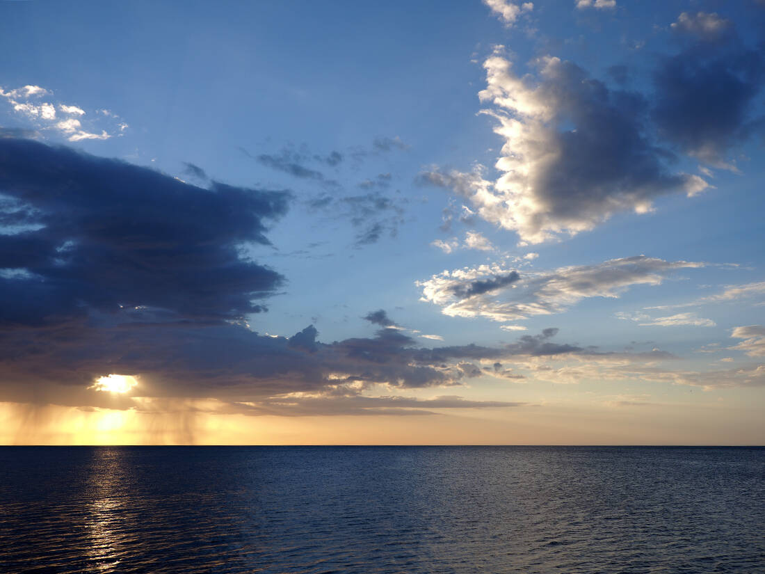
The importance of the Isla Bermeja to the national economy was neglected to be ignored. Finally, there were three official research missions that took place in 2009 and all of them used technologically advanced equipment. And yet the island was not found.
And now some have begun to question even its very historical existence. Did it never exist and was it just a ploy by the Spaniards to deceive their enemies?
Julio Zamora, president of the Mexican Society of Geography, believes: "The countries that made maps in the 16th and 17th centuries published them with inaccuracies, so that their enemies would not use them." A strategically placed fake island you need, he tells us, to discourage usurpers once and for all.
However, the Geographical Institute of the Universidad Nacional Autonoma de Mexico (UNAM) disagrees: "We have come across documents that contain very accurate descriptions of the existence of Bermeja… On this basis, we firmly believe that the island existed, but in a different location."
The geographical mystery does not seem to have an end. An island in the heart of the Gulf of Mexico has disappeared and no one can say exactly what happened to it. This dot on map it was always too small and insignificant to look for.
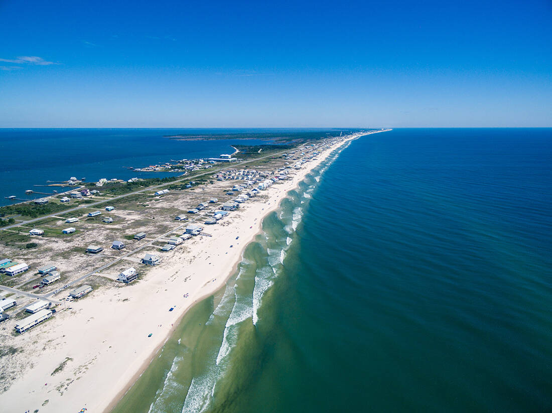
But when he acquired a key role in the 2000s, he was not there. And it was neither above sea level nor below, as the underwater research concluded. But not everyone is ready to accept that the island never existed.
The conspiracy theorists They insist that the Americans have sunk it, but Cardenas is convinced that such a thing could not have happened under their noses: "Such an event would be very detectable," he told the agency.
The latest news from the era closes with the parliamentary promise to continue the oceanographic research, as the discussion concluded that the island exists, it is just somewhere else. They had even located 4 points to continue the search.
Until they find it, the Mexican EEZ has shrunk sharply in favor of the US.
