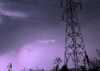

The barometric low named "BARBARA" and centered in the North Aegean Sea, is moving eastward and the front that accompanies it is expected to affect the island on Tuesday evening.
Today, the weather will be partly cloudy and at times mainly cloudy, while a few isolated showers are possible. Winds will blow mainly southeasterly to southwesterly weak, 3 Beaufort, in the morning, gradually becoming southwesterly to northwesterly, weak to moderate, 3 to 4 Beaufort and temporarily on the southeast coast to strong, 4 to 5 Beaufort. The sea will be slightly rough. The temperature will rise to around 27 degrees in the interior and the west coast, around 28 on the rest of the coast and to 19 degrees in the higher mountains.
Tonight, the weather will be mainly cloudy and mainly from midnight onwards, local rains and isolated storms are expected, initially in the west and progressively in other areas. In a storm, the winds are likely to strengthen and change, while hail is also possible. The winds will blow mainly southwesterly, weak to moderate, 3 to 4 Beaufort and later in windward areas temporarily to very strong, 4 to 5 Beaufort. The sea will be a little rough and in the morning hours in the west and north to rough. The temperature will drop to around 17 degrees inland, around 18 on the coast and around 10 degrees in the higher mountains.
On Wednesday and Thursday, intermittent local rains and possible isolated storms are expected, while strong to very strong winds will blow in the area. On Friday, the weather will be mainly clear, but locally increased cloudiness will be observed at intervals.
The temperature will drop by Thursday, mainly inland and in the mountains, to fluctuate significantly below average climatic values, while on Friday it will rise slightly.