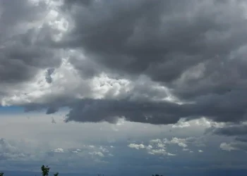
Weak low pressure is affecting the area, with the phenomena initially making their appearance in the western half of the island and gradually expanding to other areas.
Today, the weather will be partly cloudy and intermittently cloudy, with local rain and isolated storms. Winds will blow mainly from southwest to northwest directions, light to moderate, 3 to 4 Beaufort, while gradually strengthening locally up to 5 Beaufort.
The temperature will rise to around 26 degrees inland, on the east and south coasts, to 24 degrees on the rest of the coasts and to 16 degrees in the higher mountains.
Tonight, there will be increased cloudiness in places, which may give isolated rain, mainly in the western half of the island. The temperature will drop to 14 degrees inland, around 16 on the south and east coasts, 18 on the rest of the coasts and 8 degrees in the higher mountains.
On Thursday, the weather will be partly cloudy, with isolated rain or even thunderstorms expected, mainly in the west, mountainous areas and southeast.
On Friday, the scene will remain unsettled, as the weather will be mainly cloudy, with local rain and isolated thunderstorms.
On Saturday, locally increased cloudiness is expected to give isolated rain or even thunderstorms in the afternoon, mainly in the mountainous areas and in areas south of Troodos.
At the same time, the temperature will gradually drop until Saturday, falling below average climatic values.