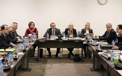
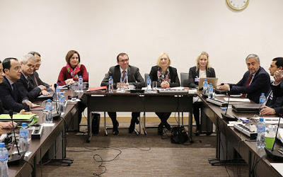
Important move but without any real surprise from yesterday's meeting of the leaders for the Territorial. Important is the fact that for the first time in the history of the Cyprus issue, maps were submitted by both sides. Maps, which moved within the agreed framework of Mont Peleran, ie the Greek Cypriot side to propose 28,2% of the territory to be administered by the Turkish Cypriots and the Turkish Cypriot side to raise the percentage to 29,2%. Which means that the map submitted by Mustafa Akinci leaves Morphou in control of the Turkish state. On the contrary, Nikos Anastasiadis' map includes Morphou in the areas under his command.
The two sides choose to stand on the important thing, namely the submission of maps and are proceeding today with the Conference on Cyprus. After the meeting, Government Spokesman Nikos Christodoulidis stated that "as agreed at the meeting of the two leaders in the presence of Mr. Aida and the cartographers of the Greek Cypriot and T / C sides, as well as the United Nations", the maps were exchanged. As Mr. Christodoulidis said, the maps range in the context agreed upon in Mont Peleran, ie they range between 28,2% and 29,2%.
Continuing, Mr. Christodoulidis underlined the fact that this is the first time in the history of the Cyprus issue that a map exchange is taking place. For the Cypriot government, this development is considered "particularly important". The study of the map given by the T / C side examined whether it corresponds to the agreed data, ie to 29,2%. According to the Representative, on the map "there are provisions and aspects that do not satisfy us", ie it is not satisfactory as a final result. This led President Anastasiadis to submit specific proposals in writing. It is estimated that the Greek Cypriot side expected that the map you would submit to Mustafa Akinci would be at 29,2% without Morphou and prepared a relevant letter. However, when asked about the issue of Morphou, Mr. Christodoulidis stated that he will not make any report related to the comments of the PD on the map that was submitted.
The e / k side holds two positives: first, that it is the first time since 1974 that a map has been submitted, and second, that it is in line with what was agreed in Mont Peleran.
In his own statement shortly after the meeting, Akinji's spokesman, Baris Bourtzou, said the leaders had seen each other's maps and that the UN expert, along with experts from both sides, had done some work and studied whether the two maps is part of an agreement reached in Mont Peleran. He noted that both sides found that the maps with the proposal for a percentage of the e / k side for 28,2% and the t / k for 29.2% are appropriate. The maps were handed over to the United Nations and, accompanied by a guard, were locked in the United Nations box.
The proposal of the Greek Cypriot side
Morphou, Mesaoria, Famagusta
President Anastasiadis, according to our information, had to choose between seven maps and chose the one he submitted. According to what was released yesterday, the map submitted by the Greek Cypriot side essentially puts under Greek Cypriot administration all the villages south of the Morphou-Nicosia-Famagusta highway, ie Mesaoria, but it also moves north of this road to Kythrea. . Among the villages that will be in the e / k constituent state are Lysi, Assia, Vatili and Contea. According to the map, the part of Famagusta that is currently closed will also be under the control of the Greek Cypriots.
According to the map presented by Nikos Anastasiadis, it is estimated that more than 90 thousand refugees will have the right to return. It also ensures the expansion of the coastline that will be under the control of the Greek Cypriots.
Regarding the T / C proposal, it is important to show which areas it gives to the E / K to keep Morphou within 29,2%.
Source: Liberal

