There is no end to the Turkish provocations with commitments by parts of the Cypriot EEZ from Turkey for illegal activities in the waters of the Republic of Cyprus.
Following the NAVTEX issue issued in the previous days, with which it committed to military exercises with real fire on a huge area of the Cypriot EEZ, Turkey blocked areas in the southeast of Karpasia late last night for seismic surveys.
The challenge comes just hours before the episodic resumption of negotiations on the Cyprus issue, which were halted by the ostensibly ousting of Mustafa Akinci over a bill to celebrate the 1950 unification referendum.
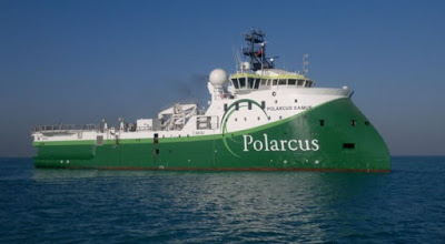
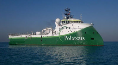
As announced, these investigations will be carried out by the usual suspicious research ship Barbaros, thus solving the mystery regarding the long voyage he made a few days ago, sailing from the port of Samsun to the Black Sea and arriving on Monday, April 17, in the port of Tass. near Mersin, crossing the Aegean.
According to the provisions of NAVTEX 410/17, the seismic surveys will be carried out from tomorrow, April 21st until June 30th, in the sea area defined by the following coordinates:
A. 35 15.92 N - 033 59.82 E
B. 35 07.02 N - 034 07.22 E
C. 35 06.43 N - 034 18.52 E
D. 35 01.53 N - 034 22.43 E
E. 35 16.18 N - 034 47.88 E
F. 35 24.57 N - 034 40.00 E
G. 35 28.98 N - 034 47.02 E
H. 35 37.62 N - 034 39.45 E
In addition, new military exercises with real fire were announced in the sea area north of Kyrenia and Akanthos.
It is noted that a few days ago Turkey had occupied a huge area, which includes plots 5, 6, 7, 8, 10, 11 and 12 of the Republic of Cyprus.
The specific moves come as a message of power and intentions, just a few days after the marginal dominance of "YES" in the referendum on Sunday, April 16 in Turkey, which approved by a popular vote the constitutional amendment granting the Turkish President supremacy.
Source: SigmaLive

