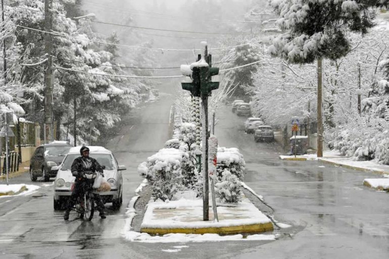
A double cold invasion is going to affect Greece until the middle of next week, with the parameters of the upcoming significant -as it seems- change of the weather, however, can not yet be determined accurately.
According to the director of the National Meteorological Service (EMY) Thodoris Kolydas, the first cold invasion passes on Wednesday with a thunderstorm without significant effects. However, the second cold invasion is expected over the weekend and lasts until the middle of next week, with very cold.
In the same context, EMY pointed out that it is still early to accurately determine the parameters of the upcoming significant change of weather, which will be caused by the movement of the upper low that descends further south and transports gaseous masses of polar origin to the region.
See the movement of the upper low that descends further south and transports air masses of polar origin to our area. It is still too early in this long journey to accurately determine the parameters of the coming major weather change. https://t.co/nzTrBZcQzb pic.twitter.com/JqdkprImDy
- EMY (@EMY_HNMS) January 18, 2022
The Director of Research at the National Observatory of Athens, Costas Lagouvardos, also reported on the change of weather with the double cold invasion in the morning. Speaking to ERT, he warned that if the forecasts follow the course that exists so far, there will be problems.
However, Mr. Lagouvardos clarified that the first safe assessment of the course of events will be made on Thursday.
Snow in Syntagma as well?
For his part, Giannis Kallianos mentions in a post that, if the current forecast models are maintained -because there is still a long time- then "there is quite a high probability that on Saturday late at night and towards dawn on Sunday it will snow even in Constitution. For the northern suburbs of Athens I do not discuss it, the snow will come earlier in the Saturday!
in.gr
